
Bramblefields
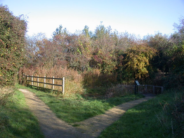
Cambridgeshire is a county in eastern England, with an area of 1,308 square miles (3,390 km2) and a population as of 2011 of 708,719. It is crossed by two major rivers, the Nene and the Great Ouse. The main manufacturing area is Peterborough, and the foundation of the University of Cambridge in the thirteenth century made the county one of the country's most important intellectual centres. A large part of the county is in The Fens, and drainage of this habitat, which was probably commenced in the Roman period and largely completed by the seventeenth century, considerably increased the area available for agriculture.
Quick facts
- Type
- Parks
- Location
- Cambridge City
- Coordinates
- 52.22400, 0.15430
Nearby
Within 500m: 1 cafes, 0 restaurants, 8 businesses, 1 other places , 1 hotels
Within 1000m: 6 cafes, 0 restaurants, 38 businesses, 2 other places , 1 hotels
Within 2000m: 42 cafes, 0 restaurants, 149 businesses, 4 other places , 12 hotels
Sources
Map data © OpenStreetMap contributors
More places nearby
- Arbury Road Roman villa · Historic
- Cambridge (Samian Ware Discovery Site) · Historic
- Cambridge Greyfriars · Historic
- Castle Hill, Cambridge · Parks
- Coldham's Common · Parks
- Fitzwilliam Museum · Culture
Where to eat nearby
Food businesses within approximately 1 km.