
Mount Batten
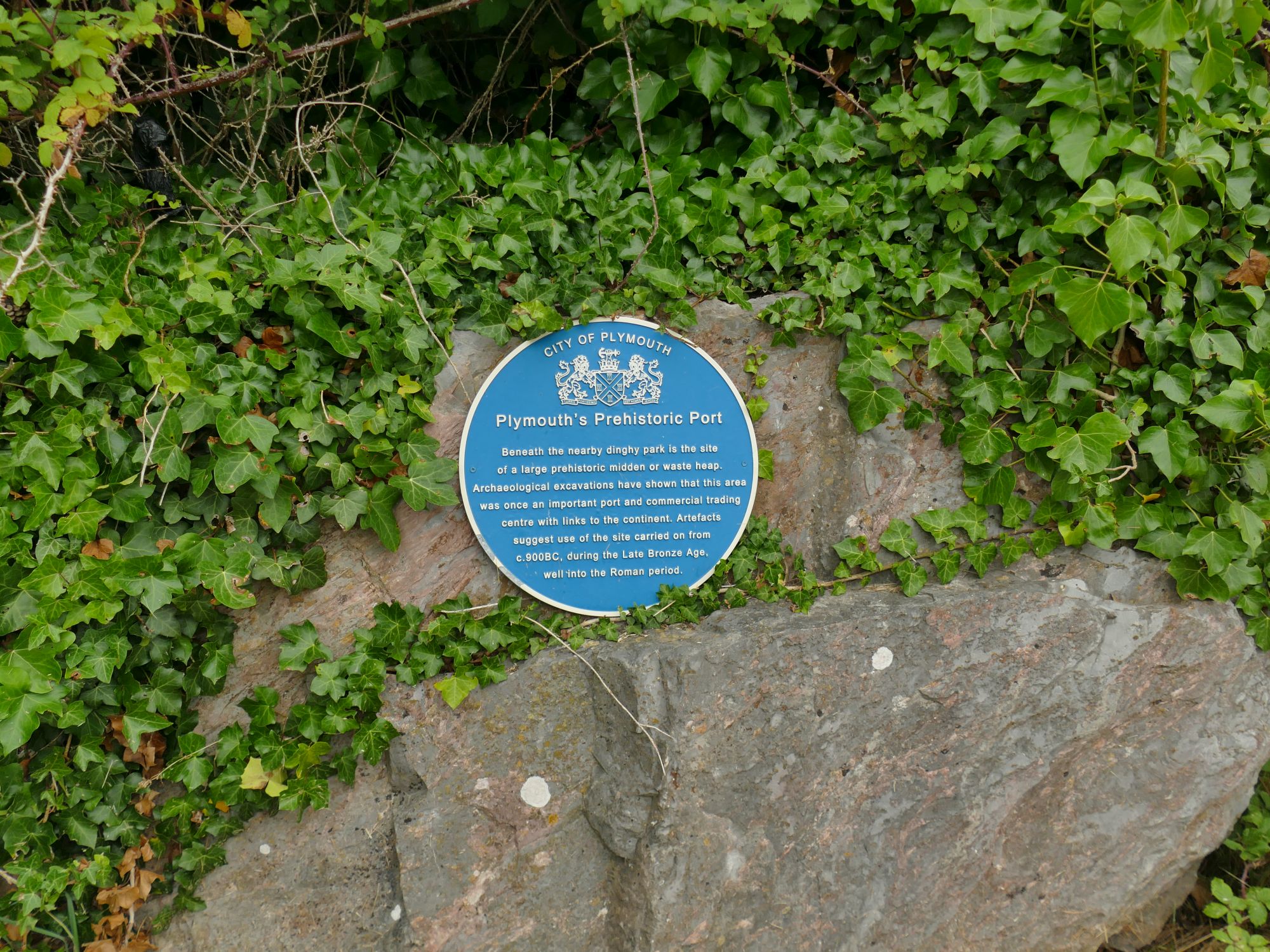
Mount Batten is a 24-metre (79 ft)-tall outcrop of rock on a 600-metre (2,000 ft) peninsula in Plymouth Sound, Devon, England, named after Sir William Batten (c.1600–1667), MP and Surveyor of the Navy. It was previously called How Stert.
Quick facts
- Type
- Historic
- Location
- Plymouth City
- Coordinates
- 50.35920, -4.12757
Nearby
Within 500m: 3 cafes, 0 restaurants, 5 businesses, 2 other places
Within 1000m: 17 cafes, 0 restaurants, 34 businesses, 4 other places
Within 2000m: 169 cafes, 0 restaurants, 363 businesses, 13 other places , 13 hotels
Sources
Map data © OpenStreetMap contributors
More places nearby
- Central Park, Plymouth · Parks
- Elizabethan House Museum · Culture
- Millbay Park · Parks
- Plymouth Hoe · Parks
- Plymouth Pavilions · Family
- Royal Air Force Memorial · Historic
Where to eat nearby
Food businesses within approximately 1 km.