
Weavers' Triangle
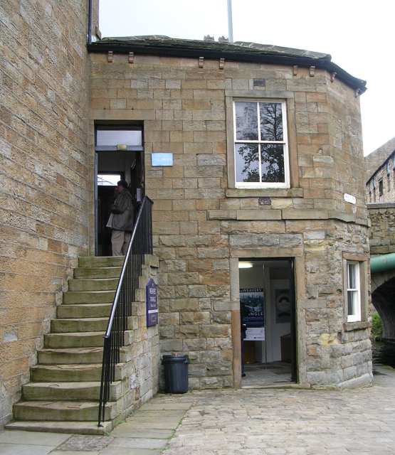
The Weavers' Triangle is an area of Burnley in Lancashire, England consisting mostly of 19th-century industrial buildings at the western side of town centre clustered around the Leeds and Liverpool Canal. The area has significant historic interest as the cotton mills and associated buildings encapsulate the social and economic development of the town and its weaving industry. From the 1980s, the area has been the focus of major redevelopment efforts.
Quick facts
- Type
- Culture
- Location
- Burnley
- Coordinates
- 53.78640, -2.24610
- Official website
- Visit official website
Visitor information
Opening information can change. Check the official website before visiting.
Nearby
Within 500m: 31 cafes, 0 restaurants, 88 businesses, 1 other places
Within 1000m: 49 cafes, 0 restaurants, 189 businesses, 6 other places , 1 hotels
Sources
Map data © OpenStreetMap contributors
More places nearby
- Burnley General Hospital · Culture
- Chaffer Monument Approximately 12 Metres South Of Church Of St Peter · Historic
- Gawthorpe Textiles Collection · Culture
- Ightenhill Manor (site of) · Historic
- Kay Monument Approximately 30 Metres South Of Church Of St Peter · Historic
- Museum of Local Crafts And Industries · Culture