
Leicester Castle
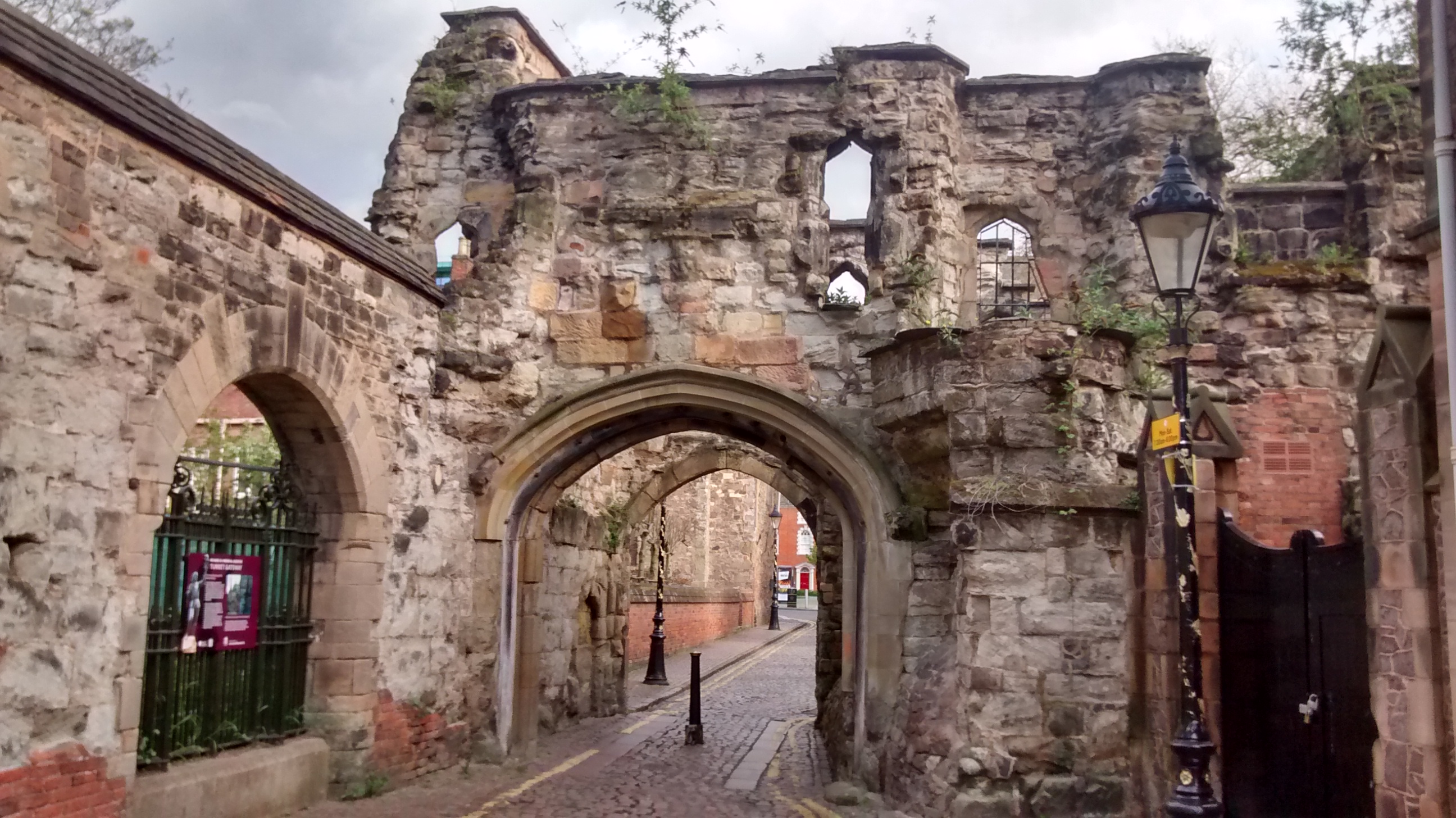
Leicester Castle is in the city of the same name in the English county of Leicestershire. The complex is situated in the west of Leicester City Centre, between Saint Nicholas Circle to the north and De Montfort University to the south. A large motte, the Great Hall, the Church of St Mary de Castro, and the ruined Turret Gateway are the substantial remains of what was once a large set of defensive and residential structures. It was historically the seat of the Earls of Leicester, from 1107-1175 under the House of Beaumont, from 1239 to 1265 under the House of Montfort, and after 1267 with the House of Lancaster when the Earldoms of Leicester and Lancaster were combined. The Castle's Great Hall served for centuries as the home of Leicester County Assizes and is encased in a Queen Anne style frontage. The Castle is a scheduled monument.
Quick facts
- Type
- Historic
- Location
- Leicester City
- Coordinates
- 52.63230, -1.14119
Nearby
Within 500m: 49 cafes, 0 restaurants, 109 businesses, 14 other places , 1 hotels
Within 1000m: 179 cafes, 0 restaurants, 475 businesses, 20 other places , 9 hotels
Within 2000m: 312 cafes, 0 restaurants, 995 businesses, 28 other places , 12 hotels
Sources
Map data © OpenStreetMap contributors
More places nearby
- Abbey Park · Parks
- Bede Park · Parks
- Cossington Recreation Ground · Parks
- Fielding Johnson Building · Culture
- Fosse Recreation Ground · Parks
- Gas Museum · Culture
Where to eat nearby
Food businesses within approximately 1 km.