
Lewes and Laughton Levels
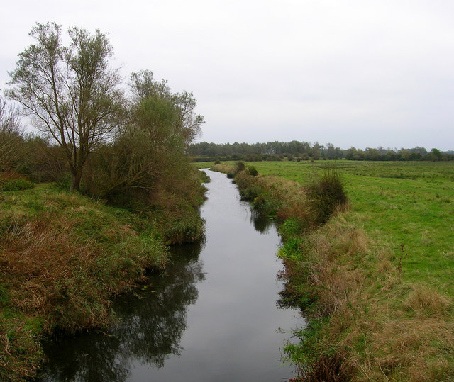
The Lewes and Laughton Levels are an area of low-lying land bordering the River Ouse near Lewes and the Glynde Reach near Laughton in East Sussex, England. The area was probably a tidal inlet in Norman times, but by the early 14th century, some meadows had been created by building embankments. Conditions deteriorated later that century, and by 1537, most of the meadows were permanently flooded. Part of the problem was the buildup of shingle across the mouth of the Ouse, but in 1537 a scot tax was raised, and a new channel cut through the shingle. By the mid 17th century, shingle was again preventing the region from draining properly, until the new channel was reinstated around 1731. In 1758 John Smeaton surveyed the area with a view to improving it for agriculture. He suggested straightening and widening the river channel, raising the banks around meadows, and building a large sluice near Piddinghoe, to keep the tides out. Some dredging and widening were carried out, but the straightending and sluice were discarded.
Quick facts
- Type
- Parks
- Location
- Lewes
- Coordinates
- 50.85000, 0.04000
Nearby
Within 500m: 0 cafes, 0 restaurants, 0 businesses, 1 other places
Within 1000m: 0 cafes, 0 restaurants, 0 businesses, 1 other places
Within 2000m: 0 cafes, 0 restaurants, 0 businesses, 2 other places
Sources
Map data © OpenStreetMap contributors
More places nearby
- A prehistoric linear boundary known as Pook's Dyke and the south eastern part of Itford Hill settlement · Historic
- Beddingham (Samian Ware Discovery Site) · Historic
- Preston Court Farm, Beddingham · Historic
- Railway Land, Lewes · Parks
- Roman shrine at Preston Court Farm, Beddingham · Historic
- The north western part of Itford Hill settlement · Historic
Where to eat nearby
Food businesses within approximately 2 km.
No published food businesses in this radius yet. Try a wider radius.