
Railway Land, Lewes
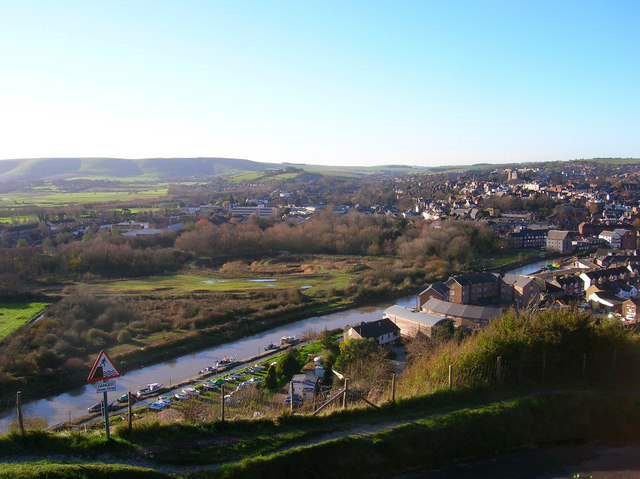
Railway Land, Lewes is a 10.9-hectare (27-acre) Local Nature Reserve in Lewes in East Sussex. It is owned by Lewes District Council and managed by the council and the Railway Land Wildlife Trust.
Quick facts
- Type
- Parks
- Location
- Lewes
- Coordinates
- 50.87100, 0.01800
Nearby
Within 500m: 13 cafes, 0 restaurants, 31 businesses, 1 other places
Within 1000m: 26 cafes, 0 restaurants, 73 businesses, 1 other places
Within 2000m: 31 cafes, 0 restaurants, 97 businesses, 1 other places , 1 hotels
Sources
Map data © OpenStreetMap contributors
More places nearby
- A prehistoric linear boundary known as Pook's Dyke and the south eastern part of Itford Hill settlement · Historic
- Beddingham (Samian Ware Discovery Site) · Historic
- Lewes and Laughton Levels · Parks
- Preston Court Farm, Beddingham · Historic
- Roman shrine at Preston Court Farm, Beddingham · Historic
- The north western part of Itford Hill settlement · Historic
Where to eat nearby
Food businesses within approximately 2 km.