
Oxford University Parks
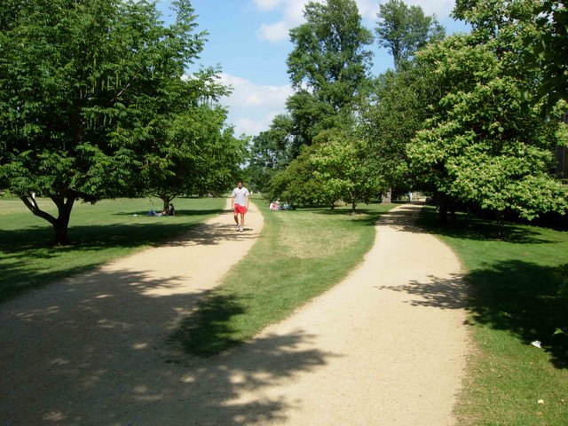
The Oxford University Parks, commonly referred to locally as the University Parks, or just The Parks, is a large parkland area slightly northeast of the city centre in Oxford, England. The park is bounded to the east by the River Cherwell, though a small plot of land called Mesopotamia sits between the upper and lower levels of the river. To the north of the parks are Norham Gardens and Lady Margaret Hall, to the west the Parks Road, and the Science Area on South Parks Road to the south. The park is open to the public during the day, and has gardens, large sports fields, and exotic plants. It includes a cricket ground used by Oxford University Cricket Club.
Quick facts
- Type
- Parks
- Location
- Oxford City
- Coordinates
- 51.76210, -1.25457
Nearby
Within 500m: 10 cafes, 0 restaurants, 20 businesses, 3 other places
Within 1000m: 61 cafes, 0 restaurants, 147 businesses, 7 other places , 2 hotels
Within 2000m: 187 cafes, 0 restaurants, 446 businesses, 14 other places , 11 hotels
Sources
Map data © OpenStreetMap contributors
More places nearby
- Ashmolean Museum · Culture
- British Tattoo History Museum · Culture
- Bury Knowle Park · Parks
- Christ Church Picture Gallery · Culture
- Frank Cooper Marmalade Museum · Culture
- Headington (Samian Ware Discovery Site) · Historic
Where to eat nearby
Food businesses within approximately 1 km.