
Glevum
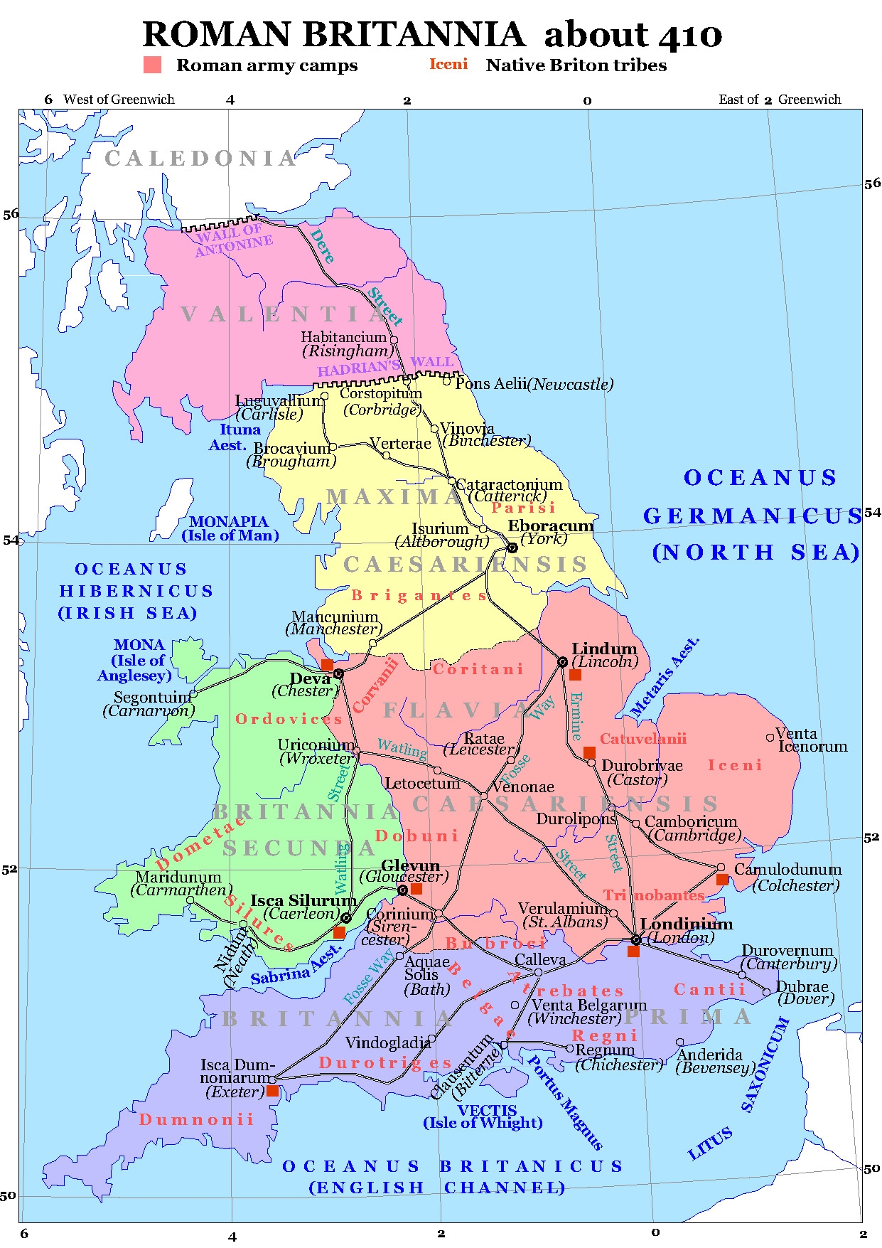
Glevum was originally a Roman fort in Roman Britain that became a "colonia" of retired legionaries in AD 97. Today, it is known as Gloucester, in the English county of Gloucestershire. The name Glevum is taken by many present-day businesses in the area and also by the 26-mile Glevum Way, a long-distance footpath or recreational walk encircling modern Gloucester.
Quick facts
- Type
- Historic
- Location
- Gloucester City
- Coordinates
- 51.86410, -2.24648
Nearby
Within 500m: 23 cafes, 0 restaurants, 114 businesses, 11 other places , 4 hotels
Within 1000m: 43 cafes, 0 restaurants, 210 businesses, 12 other places , 7 hotels
Within 2000m: 69 cafes, 0 restaurants, 312 businesses, 19 other places , 8 hotels
Sources
Map data © OpenStreetMap contributors
More places nearby
- Agricultural House, Sandhurst Lane, Gloucester · Historic
- Barnwood (Samian Ware Discovery Site) · Historic
- Bishop Hoopers Monument · Historic
- Coney Hill Hospital · Culture
- Gelvum Way Park · Parks
- Gloucester (Samian Ware Discovery Site) · Historic
Where to eat nearby
Food businesses within approximately 1 km.