
Alexandra Park
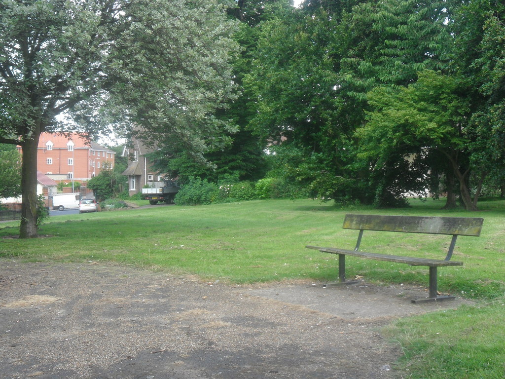
Alexandra Park is situated between Grove Lane, Kings Avenue and Back Hamlet, Ipswich.
Quick facts
- Type
- Parks
- Location
- Ipswich
- Coordinates
- 52.05360, 1.16798
Nearby
Within 500m: 12 cafes, 0 restaurants, 35 businesses, 2 other places , 2 hotels
Within 1000m: 63 cafes, 0 restaurants, 162 businesses, 12 other places , 4 hotels
Within 2000m: 132 cafes, 0 restaurants, 345 businesses, 20 other places , 7 hotels
Sources
Map data © OpenStreetMap contributors
More places nearby
- Alderman Canal East · Parks
- Alderman Canal West · Parks
- Area of middle and late Saxon and medieval defences, off Shire Hall Yard · Historic
- Area of middle and late Saxon town at corner of Foundation Street and Smart Street · Historic
- Area of middle and late Saxon town between Turret Lane and Star Lane · Historic
- Area of middle and late Saxon town between Upper Brook Street and Upper Orwell Street · Historic
Where to eat nearby
Food businesses within approximately 1 km.